
Handlist of maps, plans, illustrations and other large-format single-sheet material
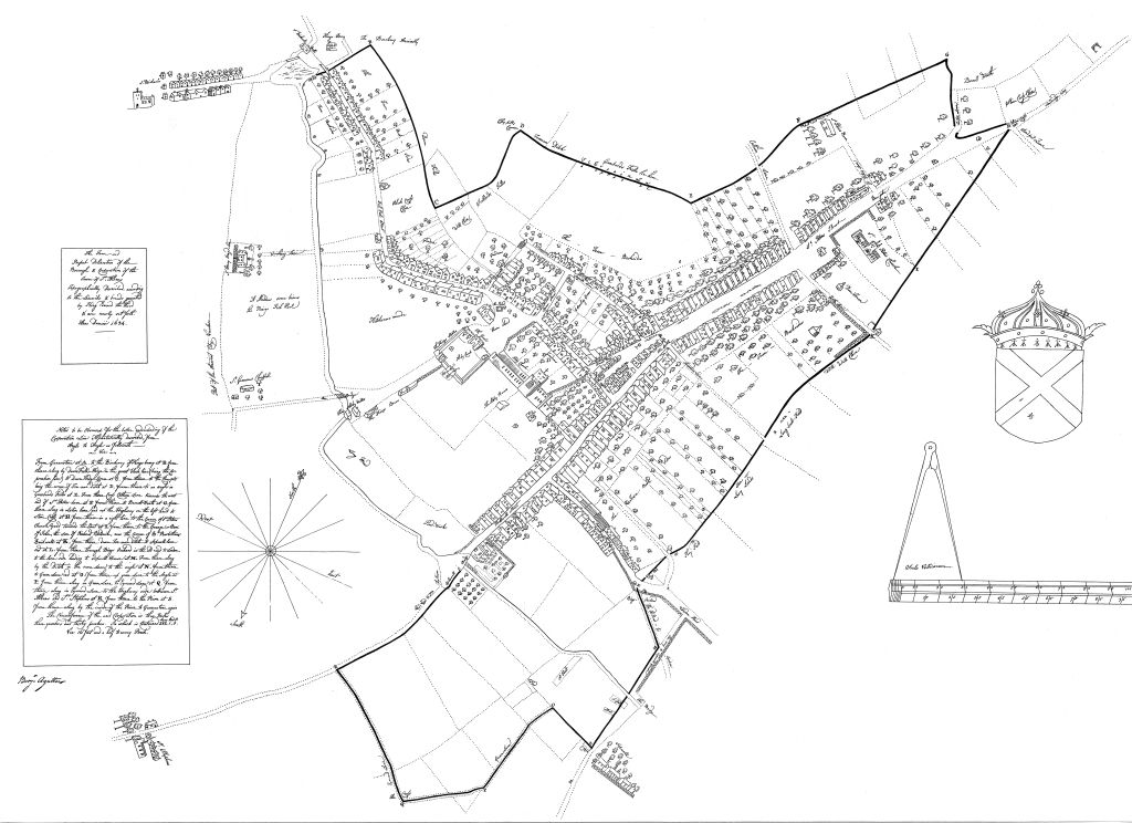
This is the fourth edition of the Handlist covering the Society’s map collection. The key updates since the last edition are the inclusion of new digital and printed copies of Benjamin Hare’s 1634 map of St Albans.
Our extensive and eclectic collection also includes architectural drawings, auction notices and posters. One of the earliest maps is Hare’s 1634 map referred to above; we have a unique set of copies of three St Albans parish maps from around 1810; and copies of the 1879 1:500 scale Ordnance Survey maps of St Albans town centre.
Some material has not yet been included in this listing. For example, we have digital copies of the early Victorian tithe maps for the four St Albans parishes as well as Sandridge. We also have a digital copy of a rare map of the town in the late 1850s. All are available to view on computer.
The listing was collated by Library volunteers Tony Cooper, Frank Iddiols and Jonathan Mein.


